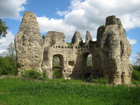
1Odiham, North Warnborough and King John's Castle
Village to castle and back by the canal.
Odiham · Hampshire
Odiham is brilliant walking country. The Basingstoke Canal winds right past the village, and within a few miles you've got a ruined royal castle, a collapsed canal tunnel full of bats, ancient oaks on Odiham Common and the wet meadows of Greywell Moors. These are the routes we'd point friends to, from a gentle hour around the old village to a proper half-day out. Each one has a map, directions in our own words and a GPX file to download.
Most start in the village or at Colt Hill, so you can set off on foot from the High Street and leave the car where it is. All of them are dog friendly, with a pub or café along the way.
Village to castle and back by the canal.
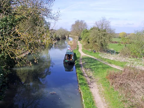
The easy, flat canal walk.
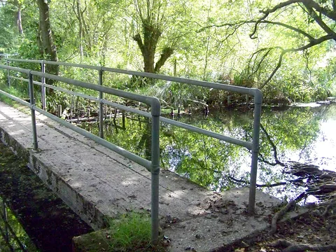
Fen, village pub and canal.
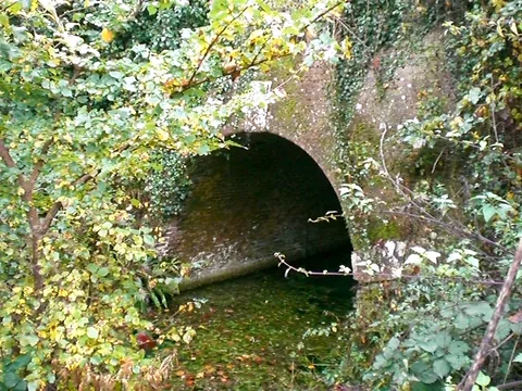
Common, woods and the tunnel.
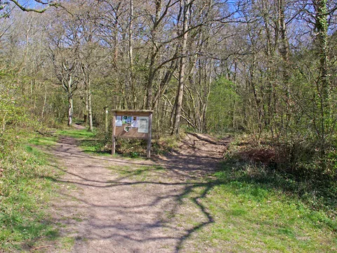
A short woodland loop for dogs.
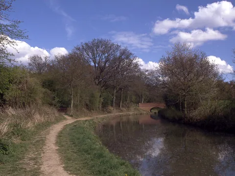
The longer canal and parkland loop.
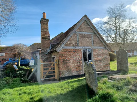
Stocks, plague house and coaching inns.
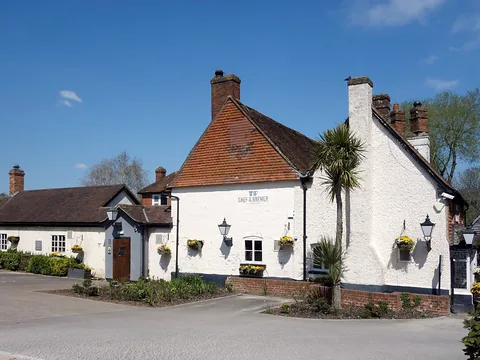
A full day out, with seven pubs on the way.
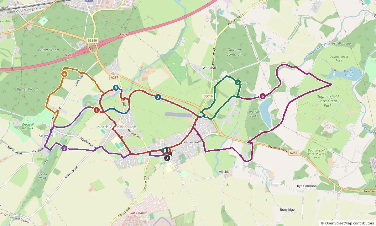
Odiham sits in the middle, with the canal running across the top. The numbers match the walks above.
Want to find out more? The Odiham Society publishes local walks and trails, the Basingstoke Canal Authority has towpath news and closures, and Hampshire & Isle of Wight Wildlife Trust and Hart District Council look after Greywell Moors and Odiham Common. For pubs, cafés and things to do, see our Odiham guide.
We've drawn these routes from OpenStreetMap and checked them against Hampshire County Council's public rights of way map, but the countryside changes. Paths get diverted, bridges close for repairs and fields fill up with crops or cattle. Please treat our directions as a friendly guide, not a guarantee, and follow the signs and waymarks you find on the ground.
You walk these routes at your own risk. If you spot something that has changed, we'd love to hear about it through the enquiry form.